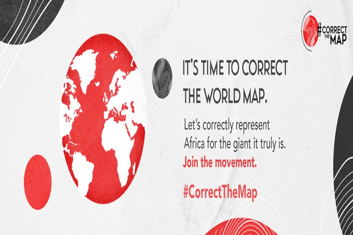
For too long, the world has lived under a cartographic illusion that has profoundly shaped our understanding of power, influence, and place.
At the heart of this lie is the Mercator projection, a 16th-century map design that distorts the true size of continents. The biggest casualty? Africa.
Despite spanning over 30 million square kilometres—large enough to comfortably contain the United States, China, India, and most of Europe—Africa is routinely misrepresented as small, marginal, and peripheral on most world maps. In classrooms, boardrooms, news broadcasts, and textbooks, a warped vision of geography has minimised Africa’s vastness and, in turn, its significance.
This is not merely a matter of aesthetics. This is about narrative. The Mercator map was originally created to aid European sailors during the Age of Empire. It served a purpose, but that purpose was never the truth. It enlarged regions in the Global North while shrinking those in the Global South, particularly Africa. The psychological impact of such skewed cartography has been nothing short of generational.

Now, organisations such as Africa No Filter and Speak Up Africa are leading a bold campaign to change that. Through the Correct the Map initiative, they call on global institutions—including the United Nations, World Bank, and BBC—to adopt the Equal Earth projection, a scientifically accurate and visually fair alternative. The campaign includes a public petition and a global charter inviting governments, media houses, schools, and businesses to pledge their commitment to accurate cartographic representation.
This is about more than map accuracy. As Moky Makura, Executive Director of Africa No Filter, powerfully says, “Geography has history. Africa’s misrepresentation on world maps is not just a cartographic error—it’s a narrative issue.”
Indeed, the map we use shapes how we view the world—and how the world views itself. When Africa is shrunk, its potential is diminished. When its scale is minimised, so is its perceived importance in economic, political, and cultural arenas.
As Yacine Djibo, Executive Director of Speak Up Africa, notes, “Decisions about Africa are being made using a false reference point.” The implications are serious, ranging from underestimating market size and investment potential to devaluing contributions in innovation, arts, science, and diplomacy.
The time has come to correct this 400-year-old mistake. It’s time to stop perpetuating colonial-era cartography and start honouring Africa’s true dimensions—both geographically and symbolically.
The Equal Earth map offers a path forward. The question now is whether institutions will follow. Accuracy in geography is not just a matter of integrity—it is a matter of justice.
Fix the map. Reframe the narrative. It’s not too late to get it right.
➡️ To support the campaign, sign the petition and learn more at Correct the Map.
Support InfoStride News' Credible Journalism: Only credible journalism can guarantee a fair, accountable and transparent society, including democracy and government. It involves a lot of efforts and money. We need your support. Click here to Donate
